


6
Mar
Book presentation in Padova
The University of Padova will present the book "Este, l'Adige and Colli Euganei, landscapes histories" coordinated by Gian Pietro Brogiolo
We conceive archaeological activity in a complex and comprehensive way. In general we can say that the MEMOLA project falls within the Landscape Archaeology, seen as the result of a coevolutionary process and a synthesis of social relations. The landscape is, in this view, a historical product and as such, part of the material culture of the societies that have built it over time.
Our activities include survey, excavation and laboratory work with the materials, remote sensing and spatial analysis. Archaeology is always planned in conjunction with other ethnographic, environmental or agricultural activities within the project.
To accomplish this, we conduct traditional archaeological surveys along with hydraulic surveys or identification of water points, agricultural terraces, pastures and forest, traditional roads, relationship of spaces with place names, etc. Digging sites are selected according to project objectives, in order to better understand the sequence of land occupation and the relationships between human beings and the natural environment explotation, especially farming.
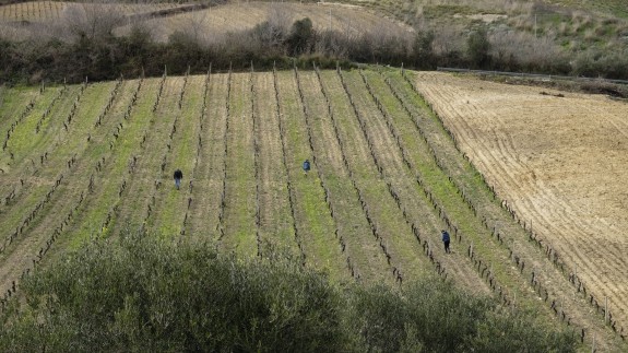
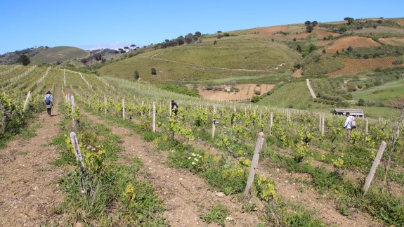
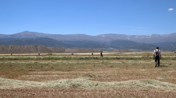
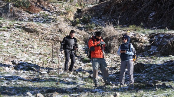
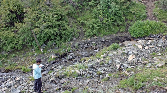
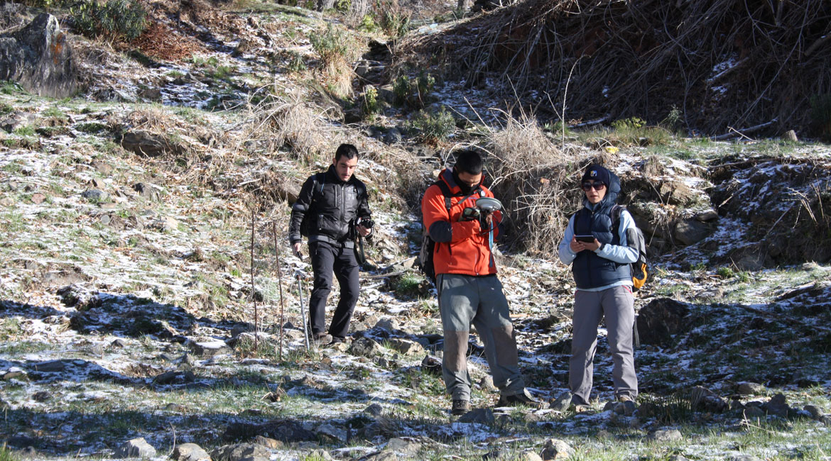
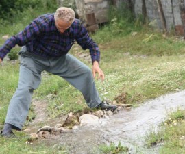
Hydraulic survey, along with an ethnographic interview, have been carried out during the month of February in the area of Calatafimi by the Univeristy of Granada and Arqueoandalusí. Fieldwork is focused on locating local water resources.
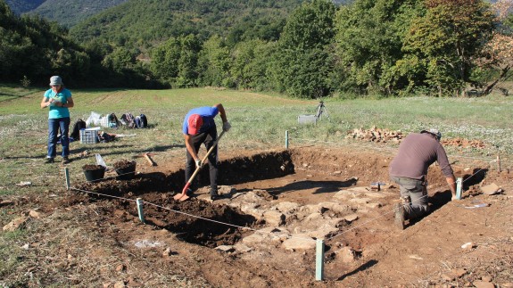
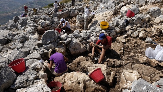
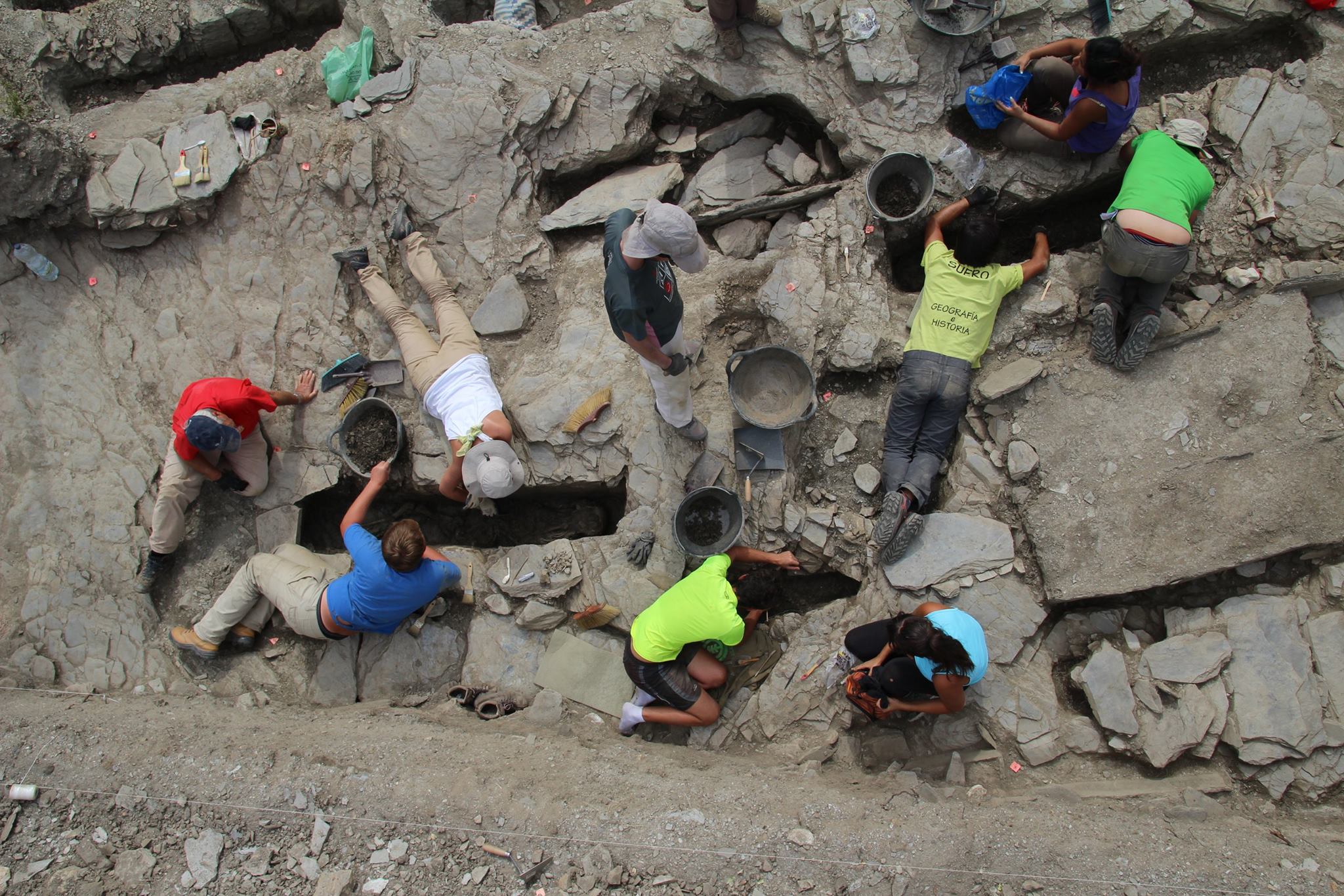
The 3rd archaeological excavation campaign at Pago del Jarafí (Lanteira) confirmed the chronology of the settlement and uncovered a new necropolis and a small rural mosque.
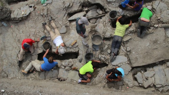
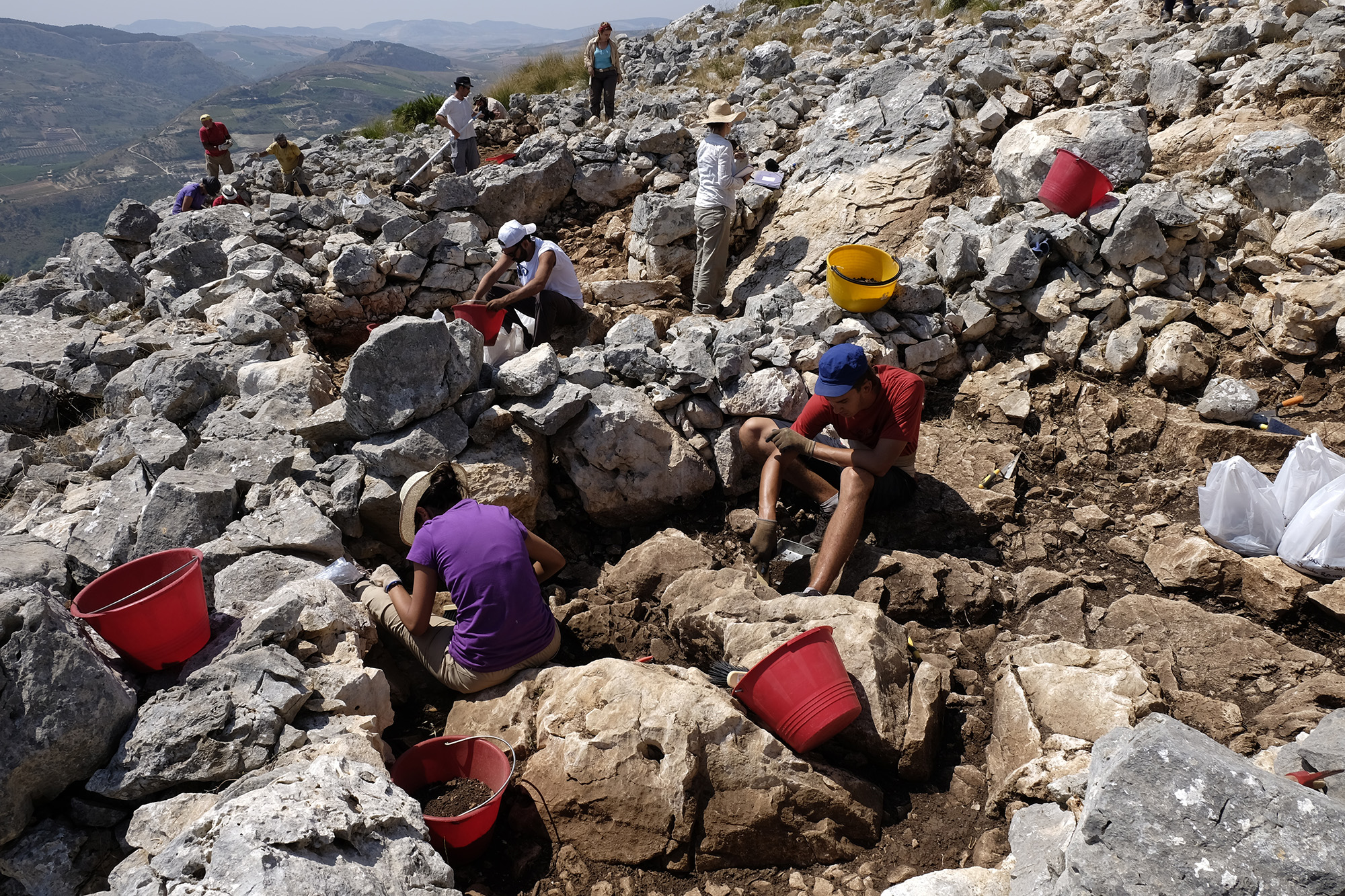
During 2016 the excavation at Pizzo Monaco took place during the month of July. The sondages performed during 2016 allowed to extend the number of excavated cells to 24.
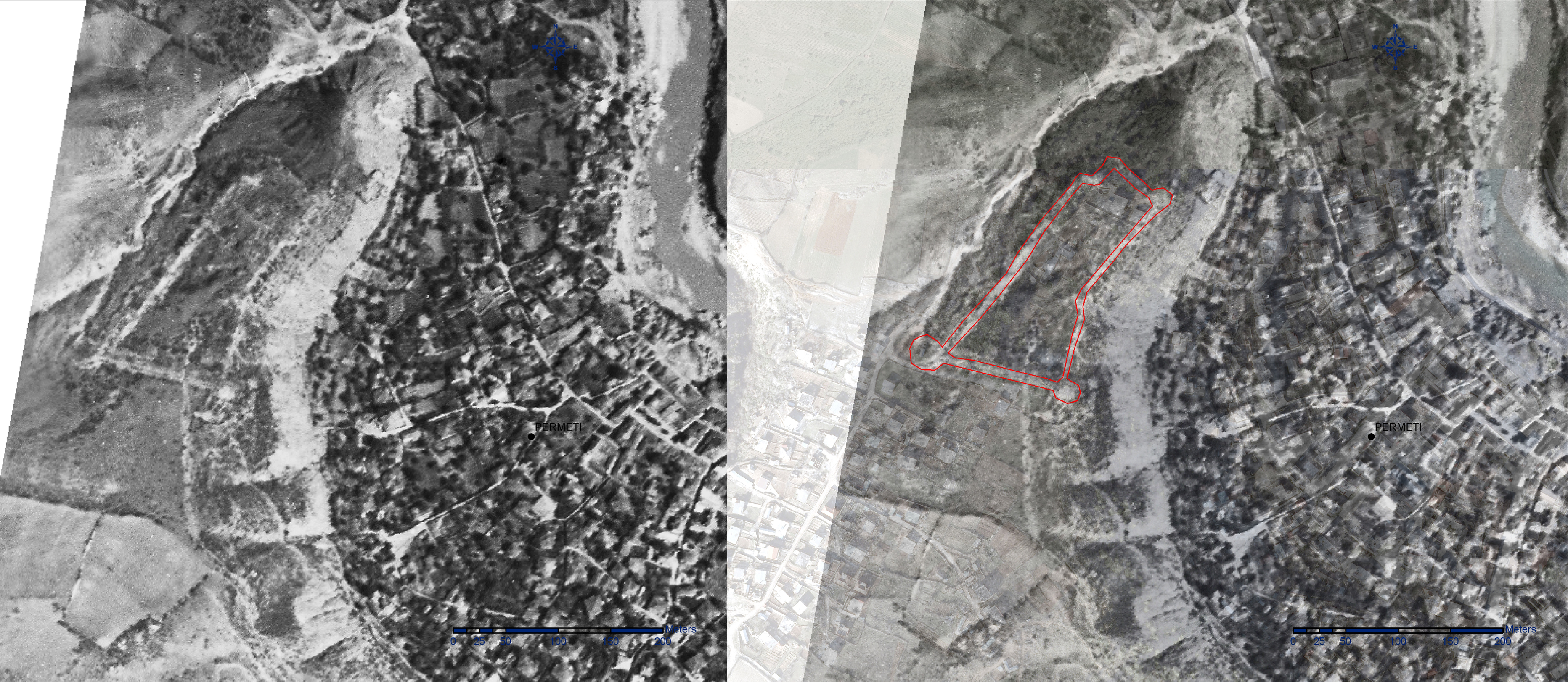
During October, CeRPHAAL in collaboration with the University of “Aleksandër Xhuvani”. Elbasan, carried out the first excavation season at the site of Magjerice, located in the region of Përmet, in the Upper Vjosa Valley.
During July and August 2015, the second archaeological excavation campaign took place at Pizzo Monaco (Custonacci, Trapani). This year we have excavated 7 new cells, together with the already excavated in the previous season, totaling 12.
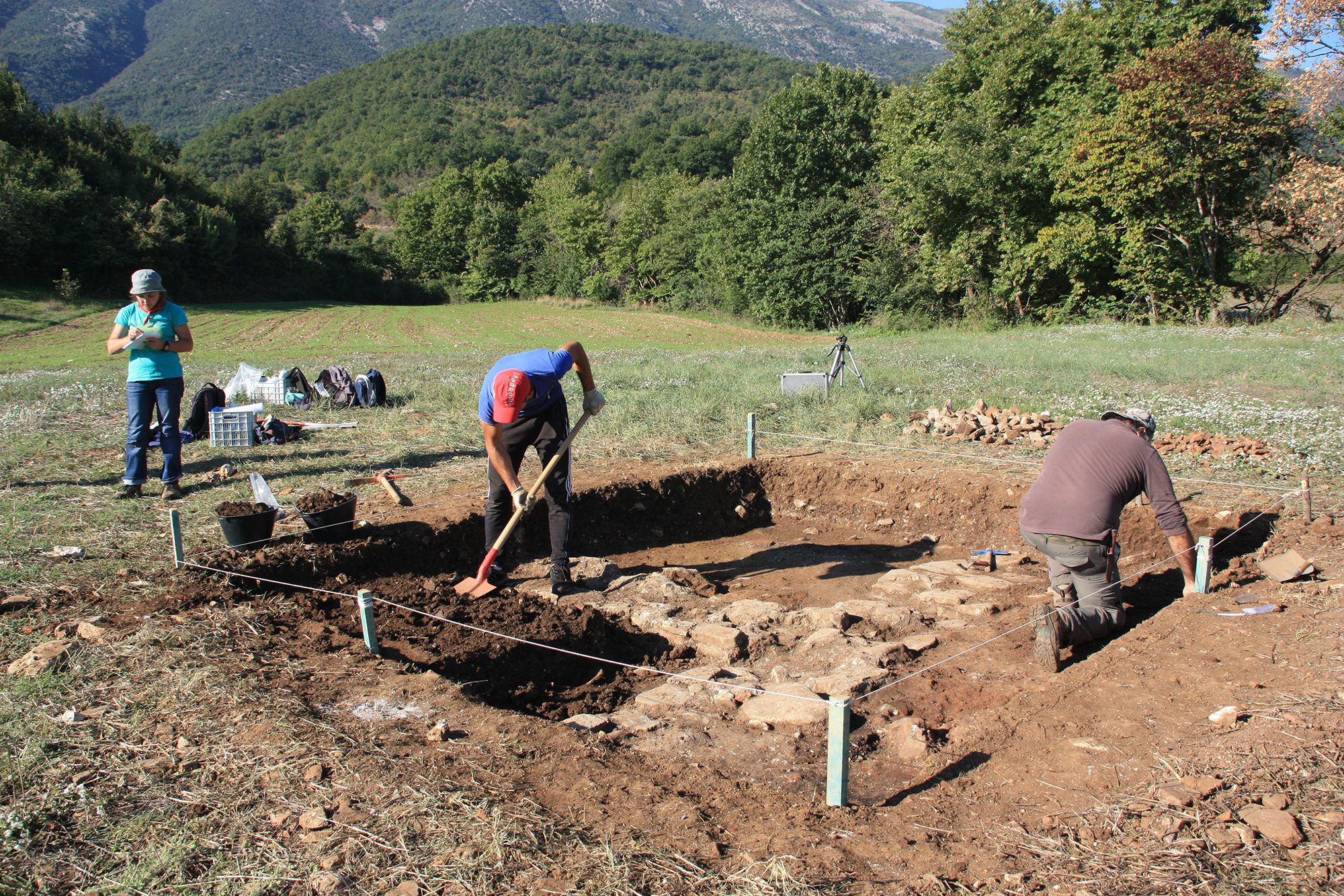
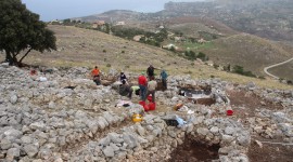
The second archaeological excavation (August- September, 2015) at Lanteira - Pago de Jarafí - has provided interesting results regarding the data obtained the previous year.
Archaeological excavation, in the area known as El Jarafí, an already documented medieval neighbourhood in Lanteira. Four sondages that revelead four silos, a big house and an Islamic cemetery. Silos and the tombs did not coincide in time.
After the archaeological excavation and archaeobotanical and environmental analysis, the site had been interpreted as a possible collective fortified granary (aghadir) dated in the Islamic period (10th?-11th century).
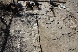
A study case of a medieval fortified settlement turned into a rural residential site. The excavation focused on the structures belonging to the late medieval rustic villa, a settlement context in poor materials and a section of the defense ditch.
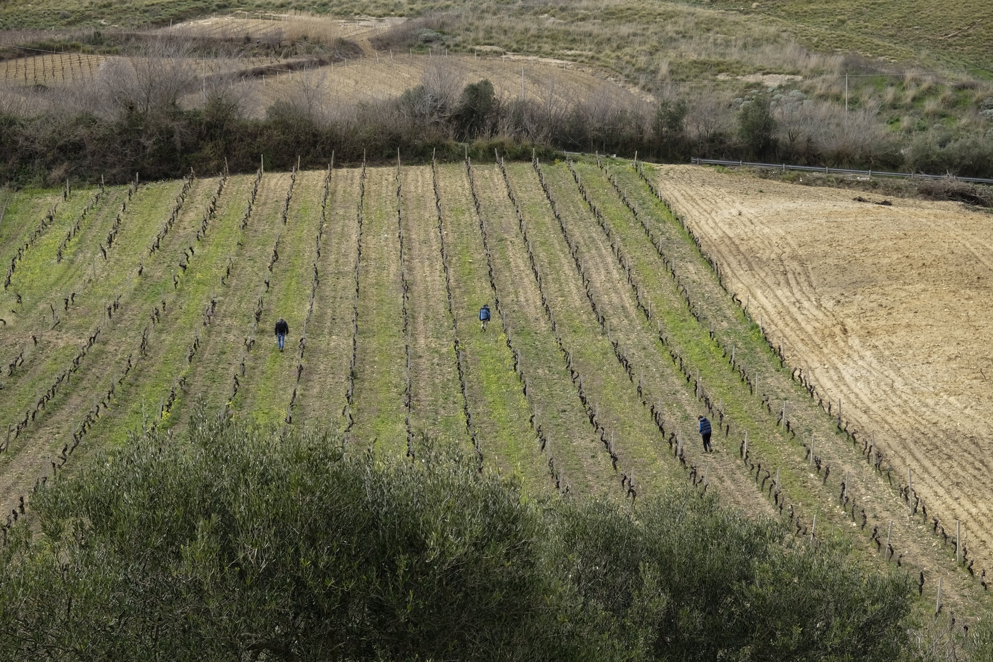
The survey consisted in the analysis of several important landscape elements. The goal was to identify the location of natural resources, which have historically served the people of the area for subsistence.
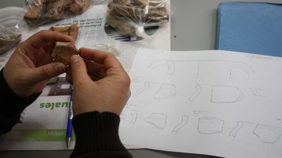
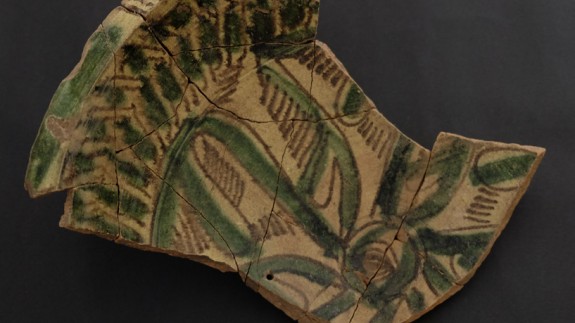
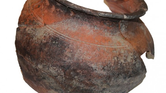
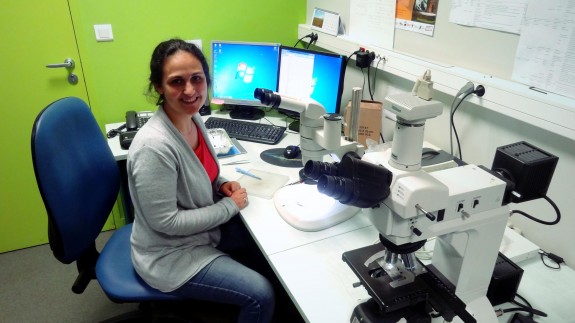
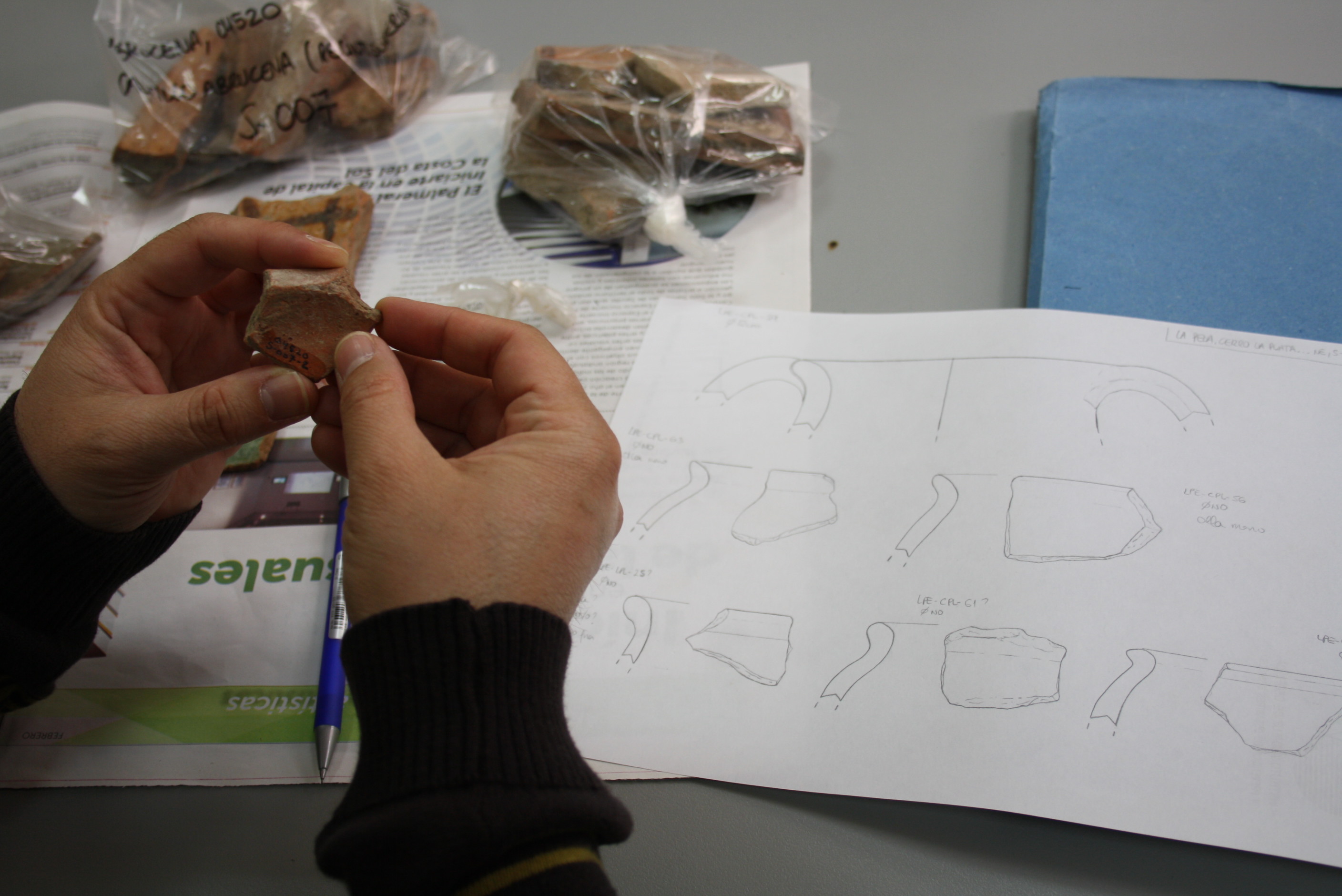
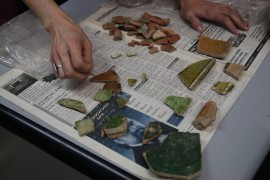
During the months of July and August, an initial analysis and catalogue of the materials found in 2014 was developed. All ceramic fragments have been counted, coded and joined, and an initial statistic analysis has been designed.
The study of pottery recovered in the 2014 campaign, at Pago del Jarafi, allowed to complete the data obtained during fieldwork. This exhaustive study has provided a more concrete chronology of the settlement.
In September- October, CeRPHAAL in collaboration with the University of “Aleksandër Xhuvani”, Elbasan, undertook a non-systematic archaeological survey, which covered the territories on the southern part of the Upper River Vjosa Valley.
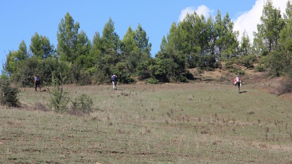
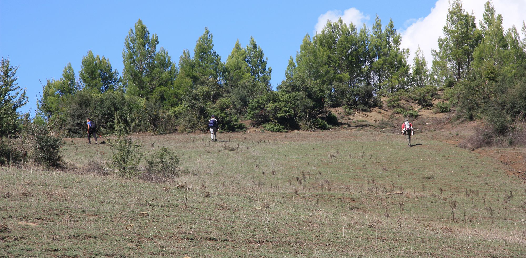
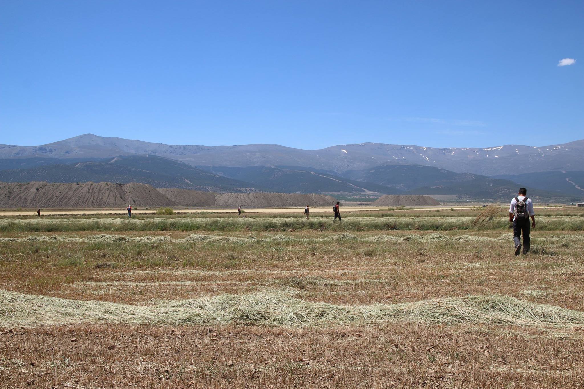
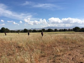
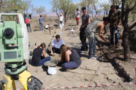
During May and June 2015 a new archaeological survey was carried out in the municipalities of Lanteira and Jérez del Marquesado (Granada), in collaboration between the Prehistory and Archaeological Department of Universidad de Granada.
This field work was performed during May and June 2015 in collaboration with hydro-engineer Josif Miti, who prior to the survey, prepared a desk-based research about the natural hydro network and traditional irrigation systems of the study area.
Two weeks of hydraulic survey with ethnographic interviews carried out by Univeristies of Sheffield, Granada and Palermo, along with Arqueoandalusí.
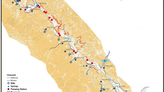
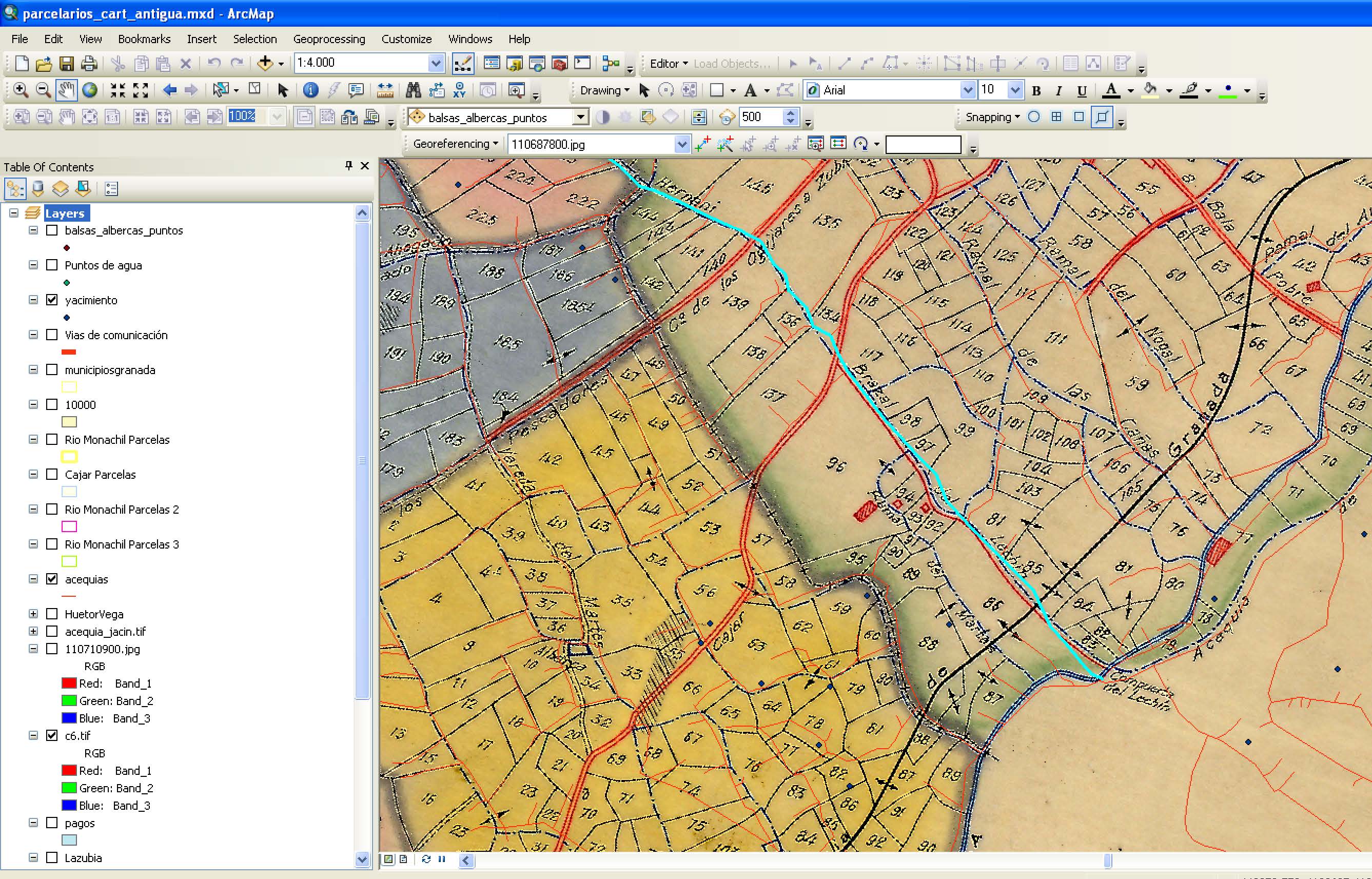
Topographic survey of the historical irrigation systems running through the territory, using GPS and mobile GIS technology.
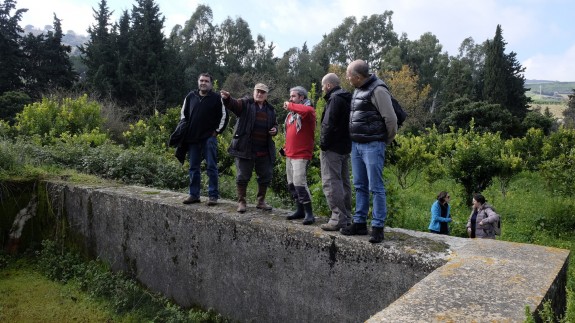
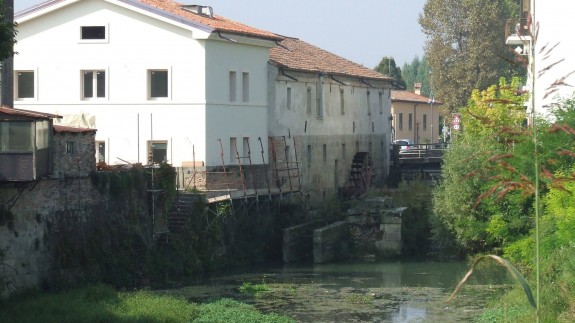
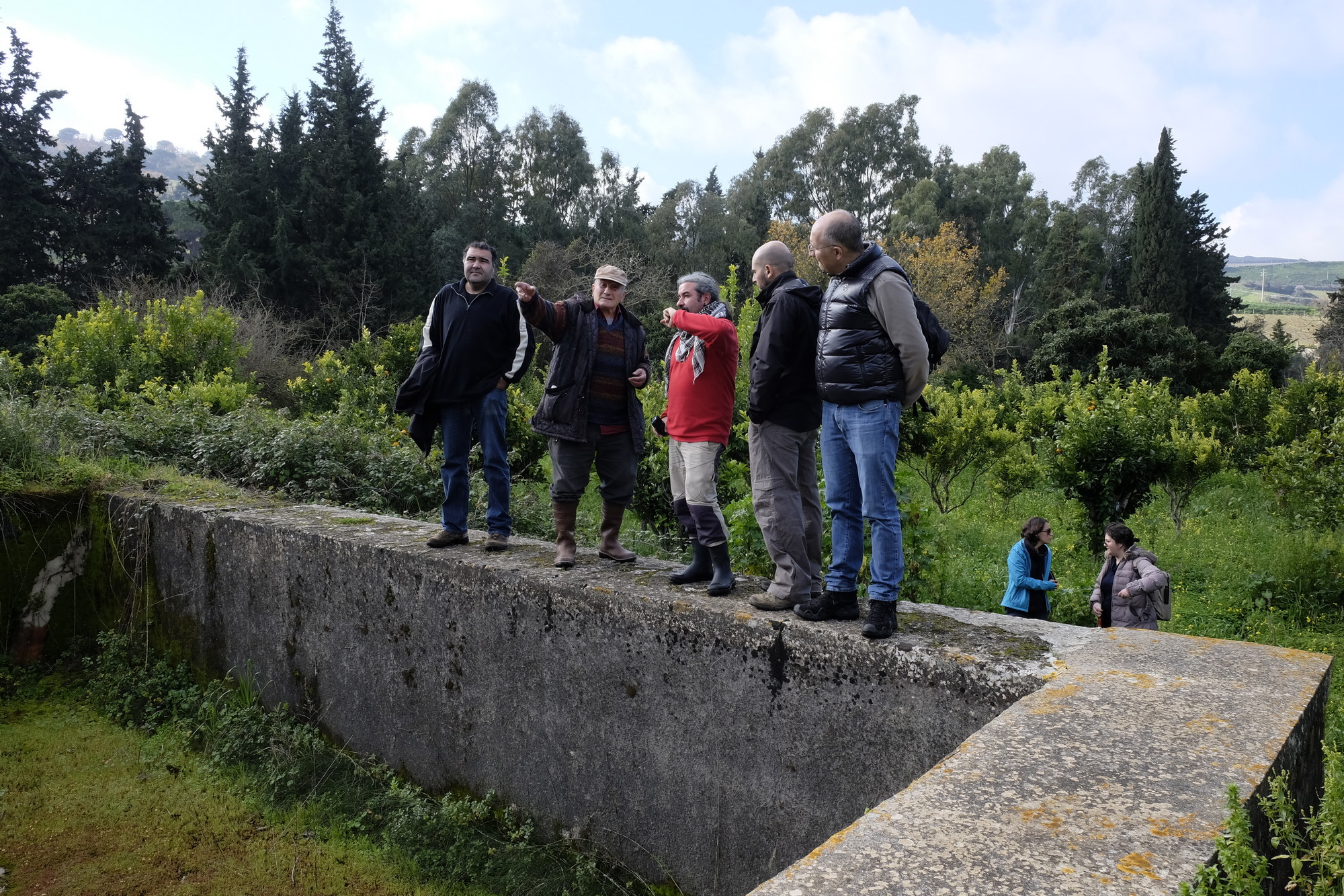
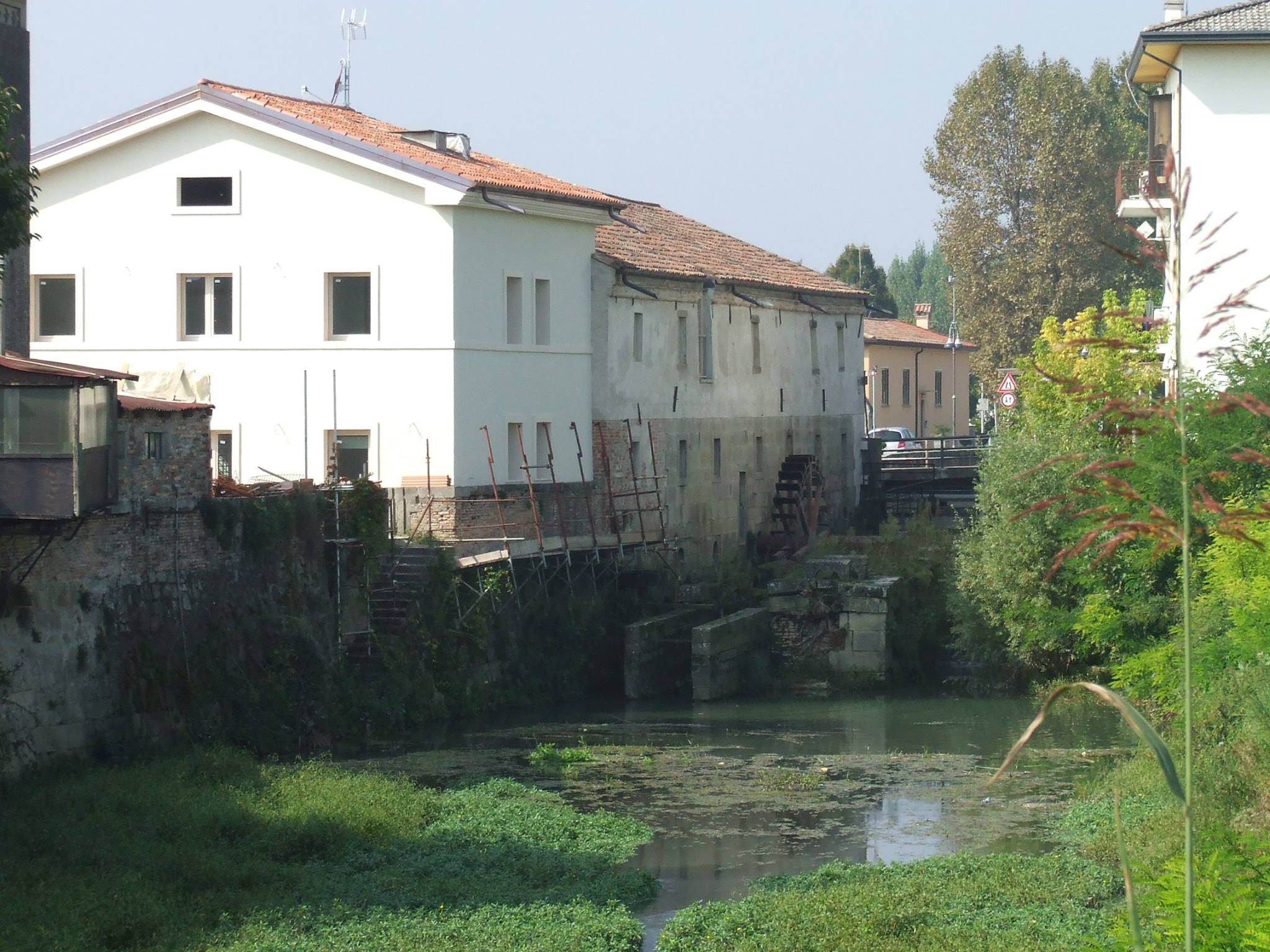
Hydraulic survey allowed to locate numerous water mills in the area of Colli Euganei. We have analyzed their position in the territory, their architectural features etc.
With the aim to analyse the historical uses of water we conducted an hydraulic survey of the historical irrigation systems, using GPS technology.
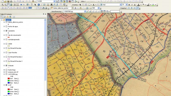
During 2015 the research on historical archival documentation has provided new information about the historical parcels.
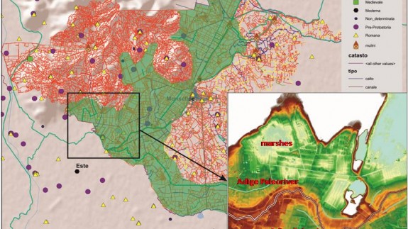
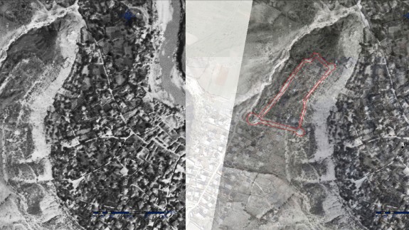
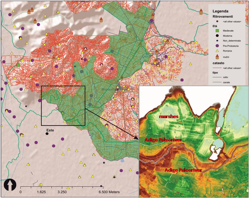
The Padua team has performed the recognition on the surface of all anomalies interpreted on raster images obtained by remote sensing.
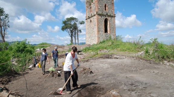
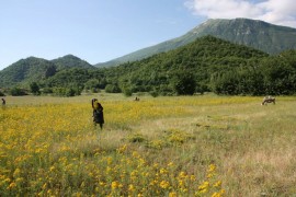
Dr. Burri and Dr. Sandrine Paradise started the field survey of the forests at the Euganean Hills, in order to document the presence of charcoal kilns.
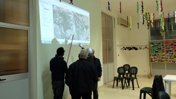
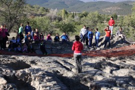
The meeting "Community Archaeology ", held in Calatafimi Segesta (Trapani) on the 12th of February 2016, has been a great success.
During 2015, a GIS map platform was designed, which is entirely dedicated to the research of MEMOLA project in the Upper Vjosa Valley.
The University of Padova will present the book "Este, l'Adige and Colli Euganei, landscapes histories" coordinated by Gian Pietro Brogiolo
3D models of Lanteira Archaeological excavation published on MEMOLA Sketchfab profile.
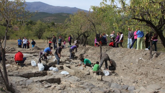
We held a guided tour for the Camilo Camús Garzón School Students to the archaeological excavation "Pago del Jarafí" at Lanteira, Granada.

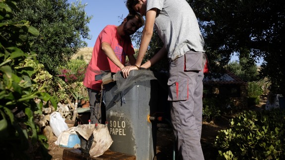
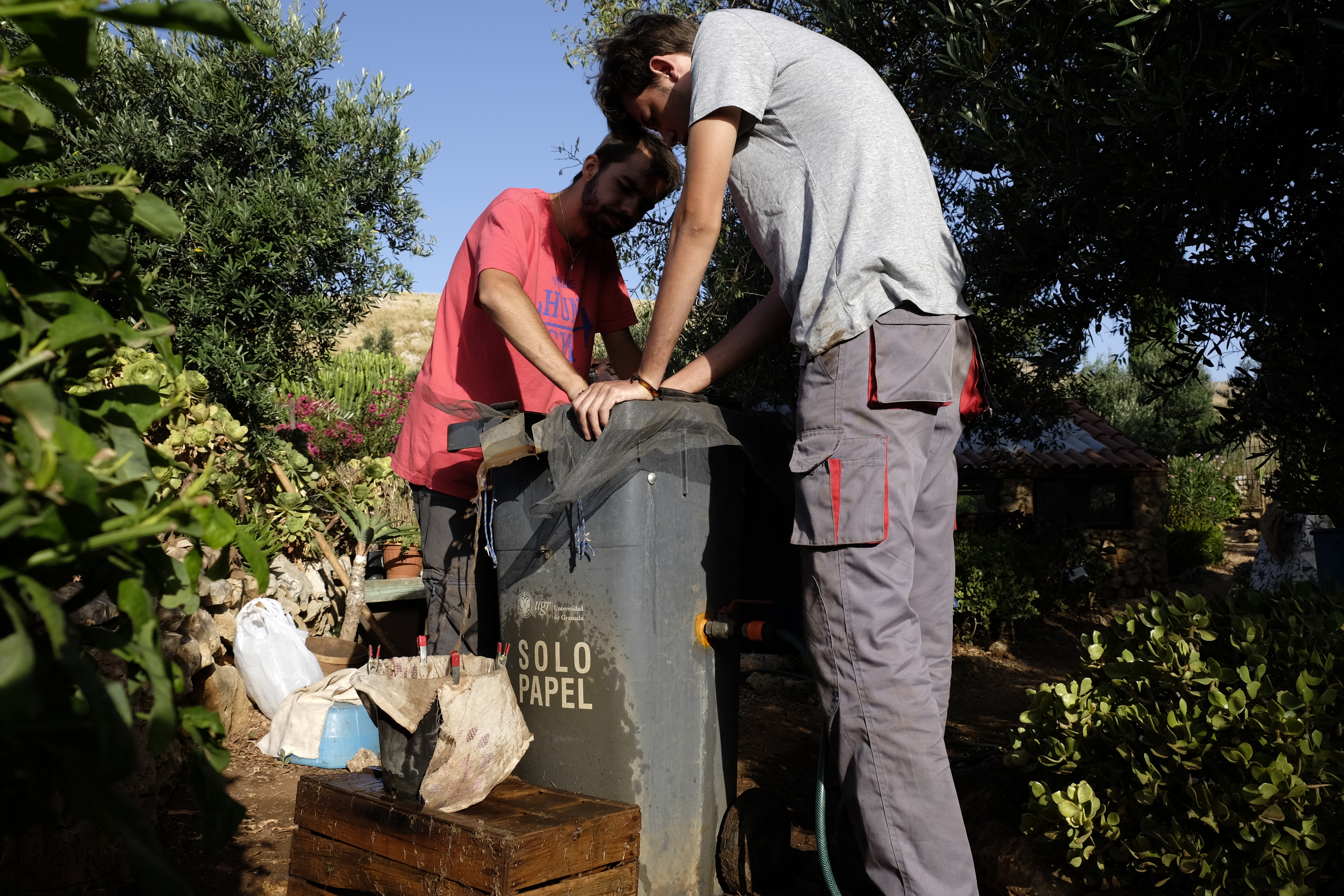
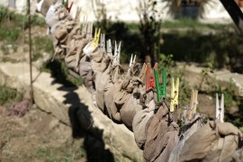
The flotation of the archaeological sediments ends. Sediments come from the archaeological excavation at "Pago del Jarafí" (Lanteira, Granada).
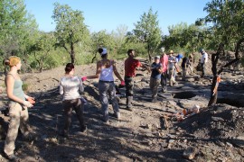
The 3rd stage of archaeological excavation at "Pago del Jarafí" (Lanteira) finished. We thank all the volunteers for their work. See you the next year!!
José Caballero López, Archaeology student, has presented his master thesis on "Three-dimensional record of 30,000 area from the archaeological excavation of Pago del Jarafí "
The origins of this book lay in the international summer school "Detecting and interpreting landscape transformation" held in the inspiring setting of the Euganean Hills south of Padua, Italy in September 2013. The variety of methods, techniques, themes and topics covered during the summer school fairly reflected the current state of play in the field of landscape archaeology as broadly defined. As a result the publishing of this book was conceived to provide a practical guide to studying the archaeology of historic landscapes covering innovative approaches and methods, in the hope that it can serve as work of reference for archaeologist, academics and other professionals interested in the understanding of historic landscapes.
Yesterday started the second stage of archaeological excavation at "Pago del Jarafí" (Lanteira, Granada). Thanks to all the volunteers and technicians.
This monday started the first stage of archaeological excavation at "Pago del Jarafí" (Lanteira, Granada). Thanks to all the volunteers and technicians.
Continuing the flotation of soil samples collected during the excavation of Pizzo Monaco (Custonaci-Trapani)
We continue the study of Lanteira archaeological pottery. The results are allowing us to precise the chronology and interpretation of the various phases documented during the archaeological excavation.
Flotation of archaeological soil samples from Lanteira excavation keeps going on. Students in archaeology collaborate in this activity and soon the CSIC, MEMOLA partner, will analyse the recovered seeds in their laboratory in Madrid.
The traditional irrigation systems of the study area of the Upper Vjosa Valley. The study consisted on tracking, mapping and analyzing the historic hydraulic structures of the study area, whether these in use or abandoned. At the same time, in collaboration with local communities we discussed on finding possible ways for recovering the historic irrigation systems.
We started the hydraulic and land use studies in Upper Vjosa Valley carried out by CeRPHAAL team during May-June 2015.
We have begun the archaeological survey in the area of "Marquesado del Zenete" (Sierra Nevada) with our Prehistorians colleagues at the University of Granada.
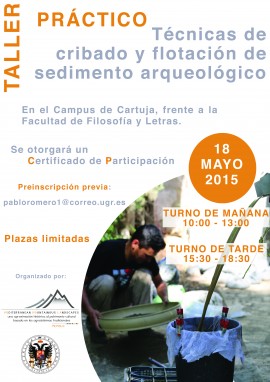
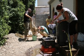
UGR organizes a MEMOLA workshop "techniques for screening and flotation of archaeological sediment" on 18th of May.
In October and November of 2014, took place the first archaeological intervention , authorized by the Soprintendenza ai Beni Culturali e Ambientali di Trapani, at the site of Pizzo Monaci (Custonaci, Trapani). During this activity we excavated four cells and the main entrance of a fortified structure, identified as a possible collective granary from Islamic times (10th?-11th centuries)
In September and October, 2014, the archaeological excavation started, at Pago del Jarafi (Lanteira-Granada). After obtaining great results, documenting numerous settlement structures, silos for grain storage and a necropolis, we are returning to Lanteira for a second excavation campaign.
Nelle prossime settimane, il team dell'Università di Padova ha previsto il riconoscimento di tutte le strutture appartenenti a mulini ad acqua conservati nella zona dei Colli Euganei.
la Universidad de Granada y la empresa Arqueoandalusí Arqueología y Patrimonio S.L., excavan en Lanteira en la zona del Jarafí, junto al Castillo del Barrio, un asentamiento de entre los siglos VIII y XI.