
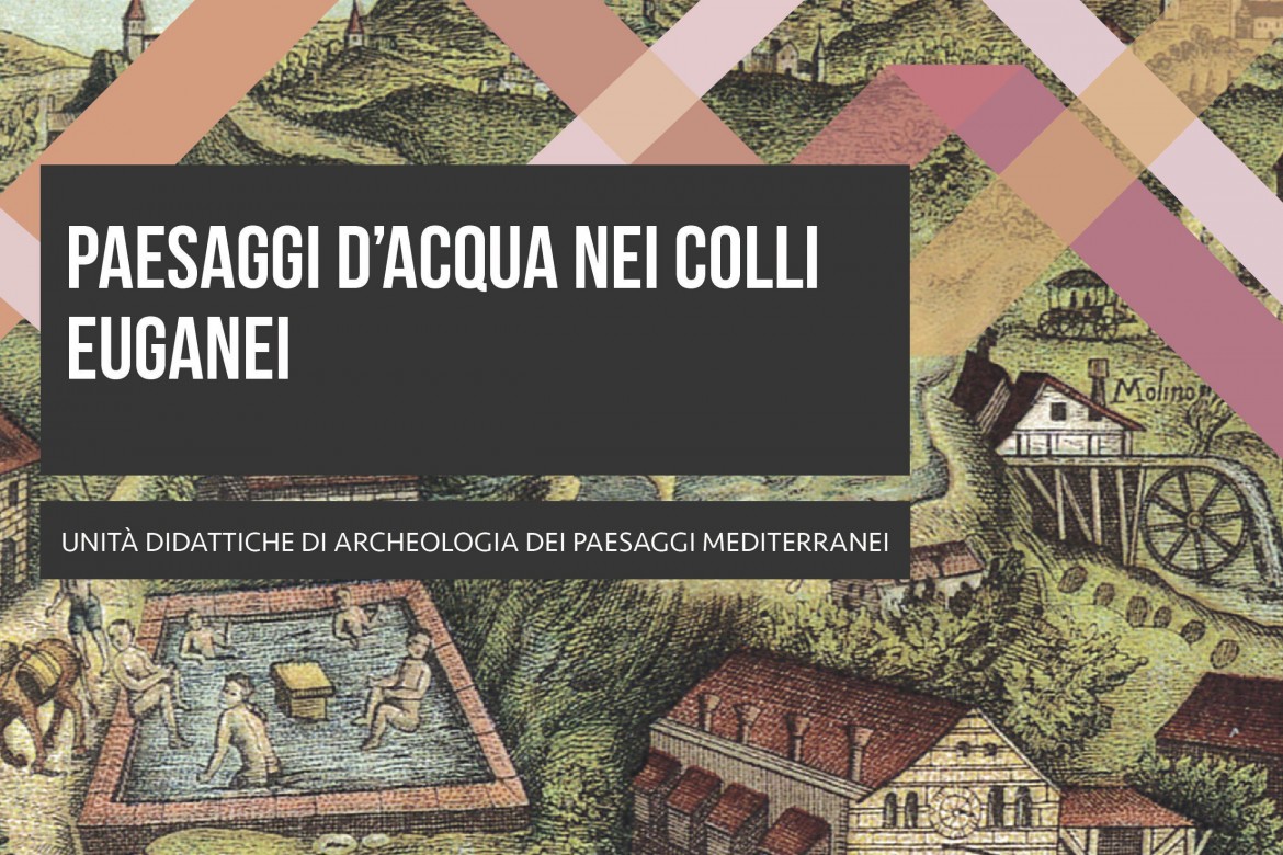
The didactic notebook titled “ Water Landscape of Colli Euganei“, include the study of the main elements that have conformed the Eugenian cultural landscapes through the history of this study area based in Padua, Italy. More specifically, it contains the study of water uses from the Middle Ages to the present day, such as navigation channels, water mills and the transformation of river course.
Students receive two notebooks. One includes the main concepts in landscape archaeology, and the second notebook contains four fieldwork activities. These fieldwork activities teach students how to use the main instruments for landscape study, such as remote sensing, historical cartography, archaeology of architecture and ethnoarchaeology. Each activity develops in a different setting, i.e. the historical cartography takes place at the Museum of Stanghella, where one of the most important historical maps of medieval wetlands distribution is preserved.
Click here to download the Class Workbook (65MB) and here for the Field Workbook (3MB).